Map that, please
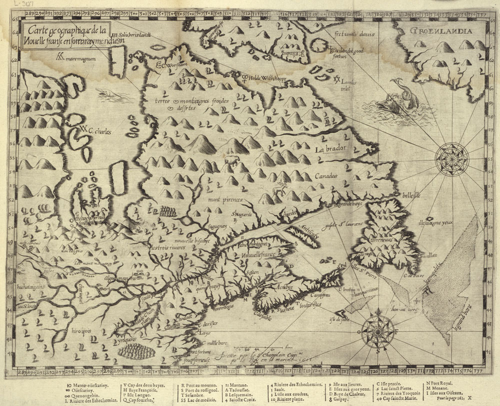
Around here, we have a certain number of GPS gadgets. Of course, we don’t travel with any of them; who would dare when the devices request that we update the maps, as soon as possible. Why, even when they were new, I remember crossing the wilds of NB and going for hours where no road “officially” existed. An act of faith, at least. Well, the whole issue of maps and misleading information is far from new. Here are two “finds” from the National Archives.
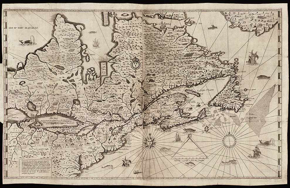
Followed by the “updated version”.
Because I pay attention to such things, I note the absence of my Island on the older version. An interesting oversight there, Mr. Champlain.
Of course, we now have access to satellite photos, which make navigation much easier. I now can see what is hidden behind those rows of trees, up the road. Again, though… not perfect. We’ve been here for going better than two years, and my house remains an undiscovered feature. Hey, maybe that’s why the family fails to visit.
I take great pleasure in comparing the older aerial photos that are provided online. Found my neighbour’s place that has been gone for most of my lifetime. Saw where my great-grandparents used to live. Even spotted trains sitting on sidings that have been empty (and trackless) for decades. That’s the fun side of technology. I’ll even pardon the absence of my house, for now.
Oh, and my old schools? Tracking them down, one at a time. It’s a pity that other provinces don’t ante up; then again, Champlain didn’t leave them out altogether…


